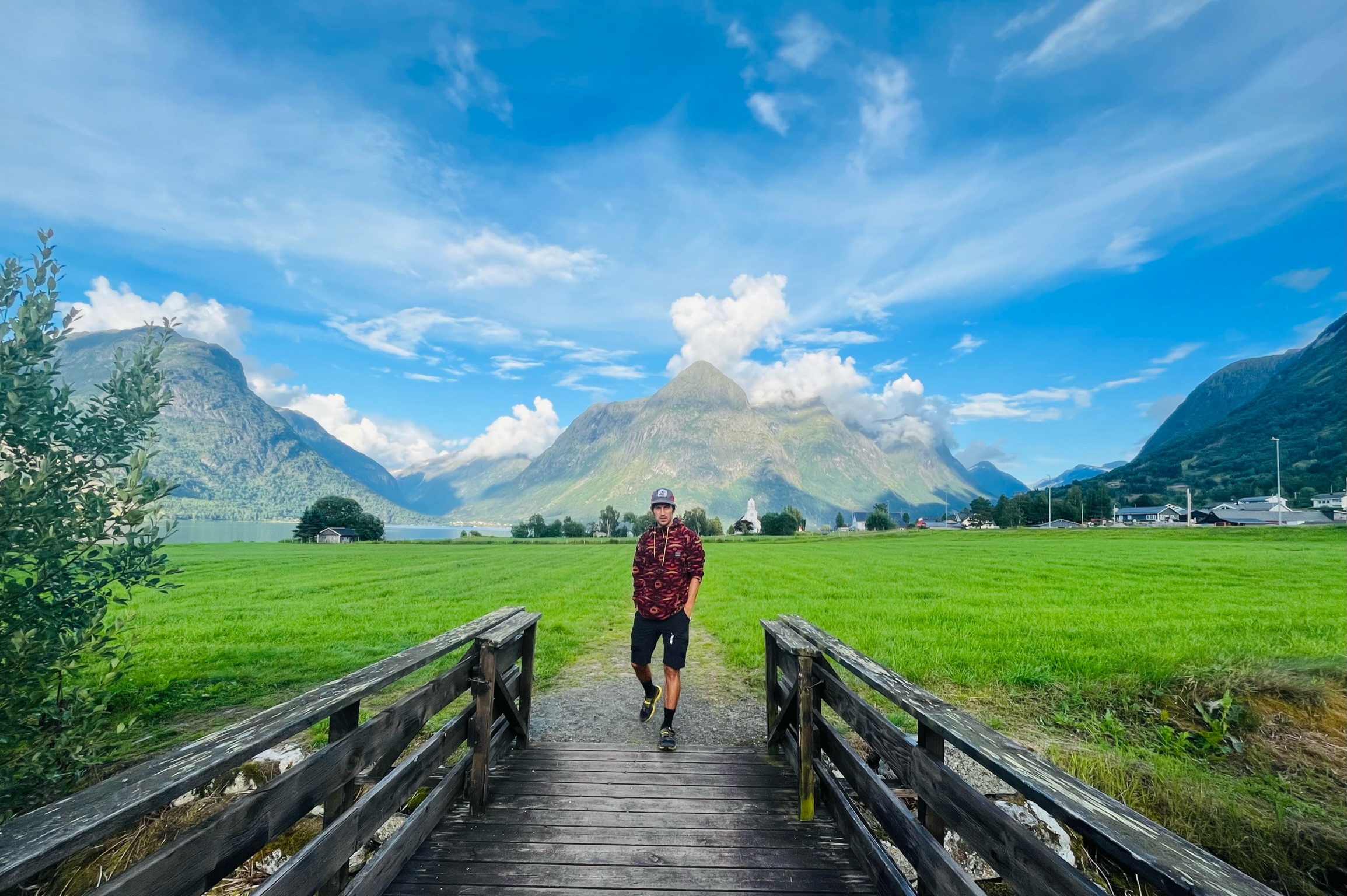
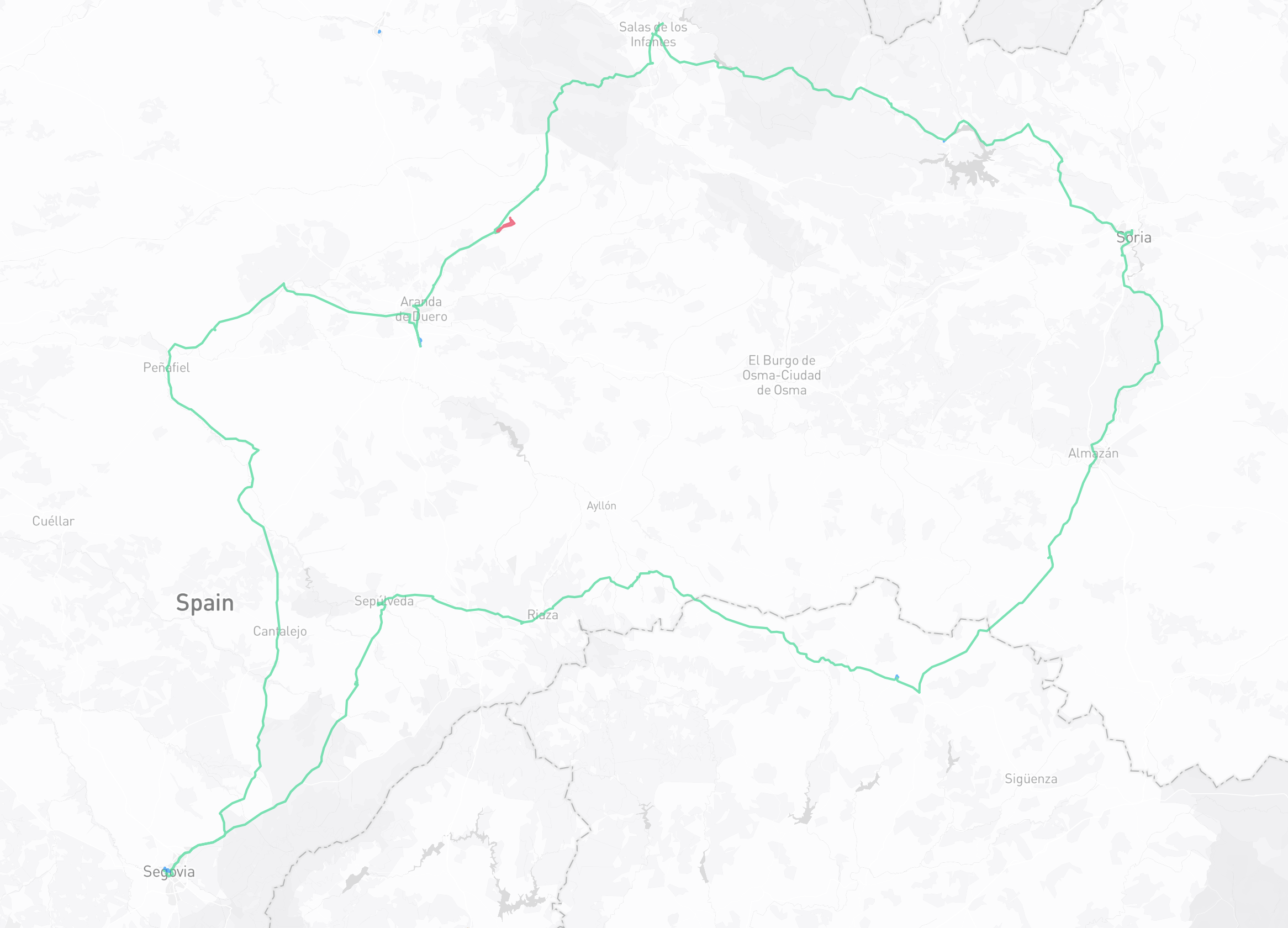
This is a write-up of a four-day loop by bike, out from Segovia through the Ribera del Duero and Soria, down into Guadalajara province, and back. Getting it planned is also what pushed me to finally build an itinerary planner into Datavata, more on that at the end, which mapped the route, then guided me day to day once I was on it.
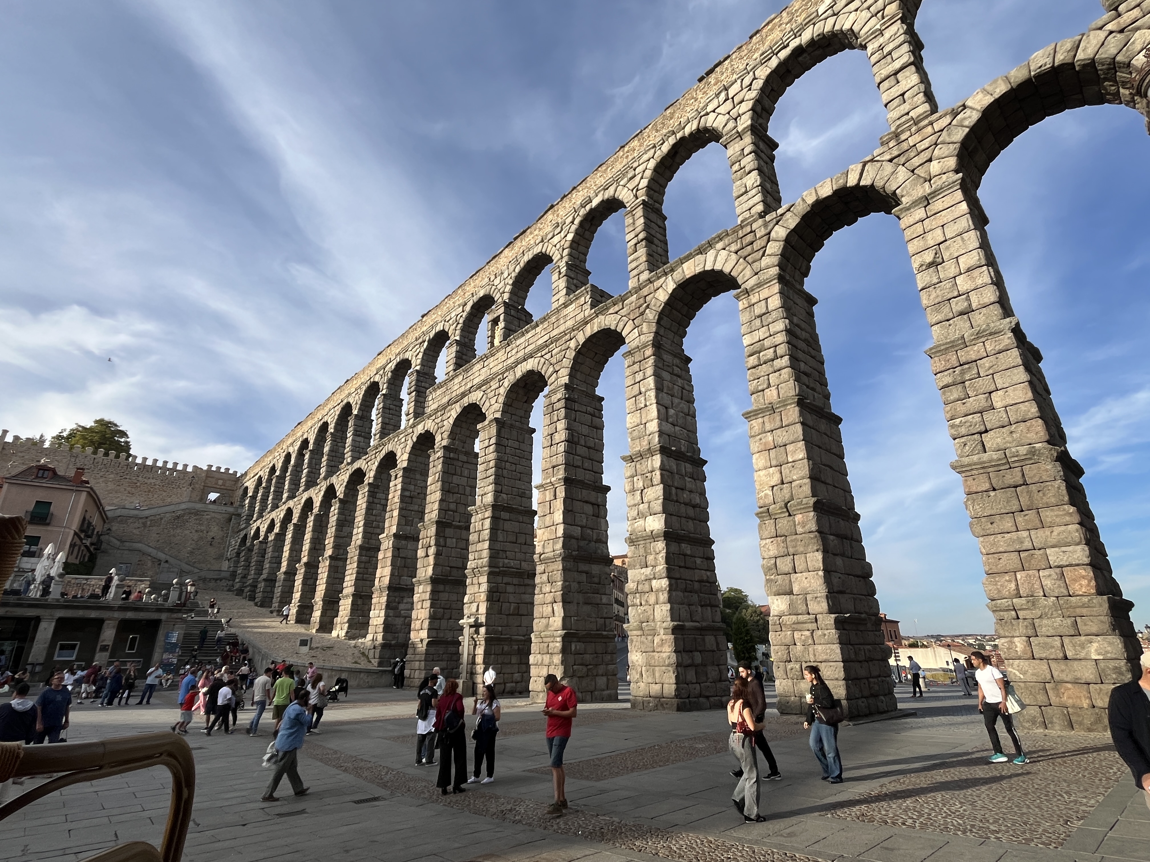
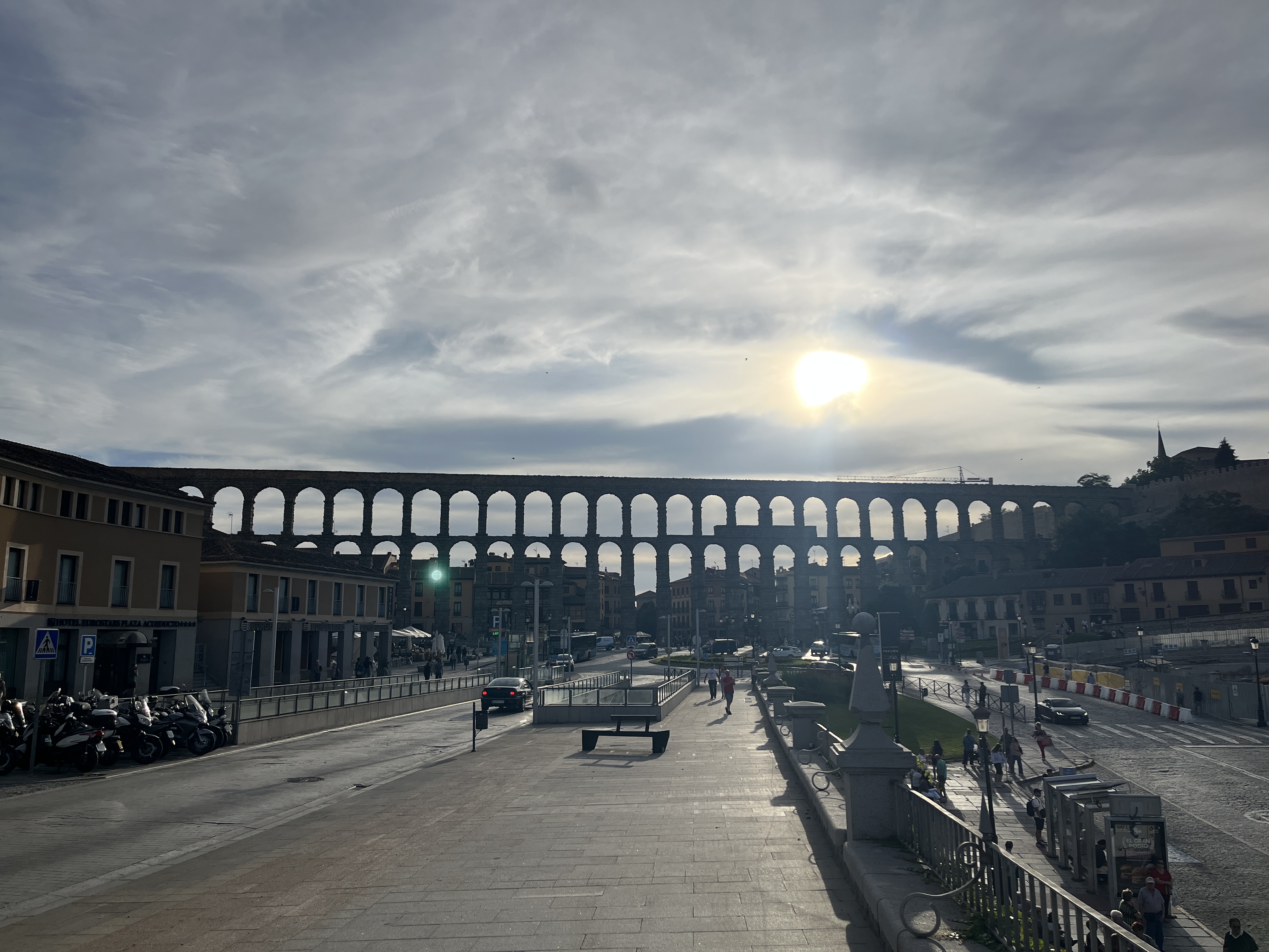
I drove up to Segovia from Cortes de la Frontera. Stayed one night in the Jewish quarter of Segovia, known as the Judería, a historic medieval neighbourhood. I spent the evening exploring the narrow city streets, getting lost, admiring the architecture.
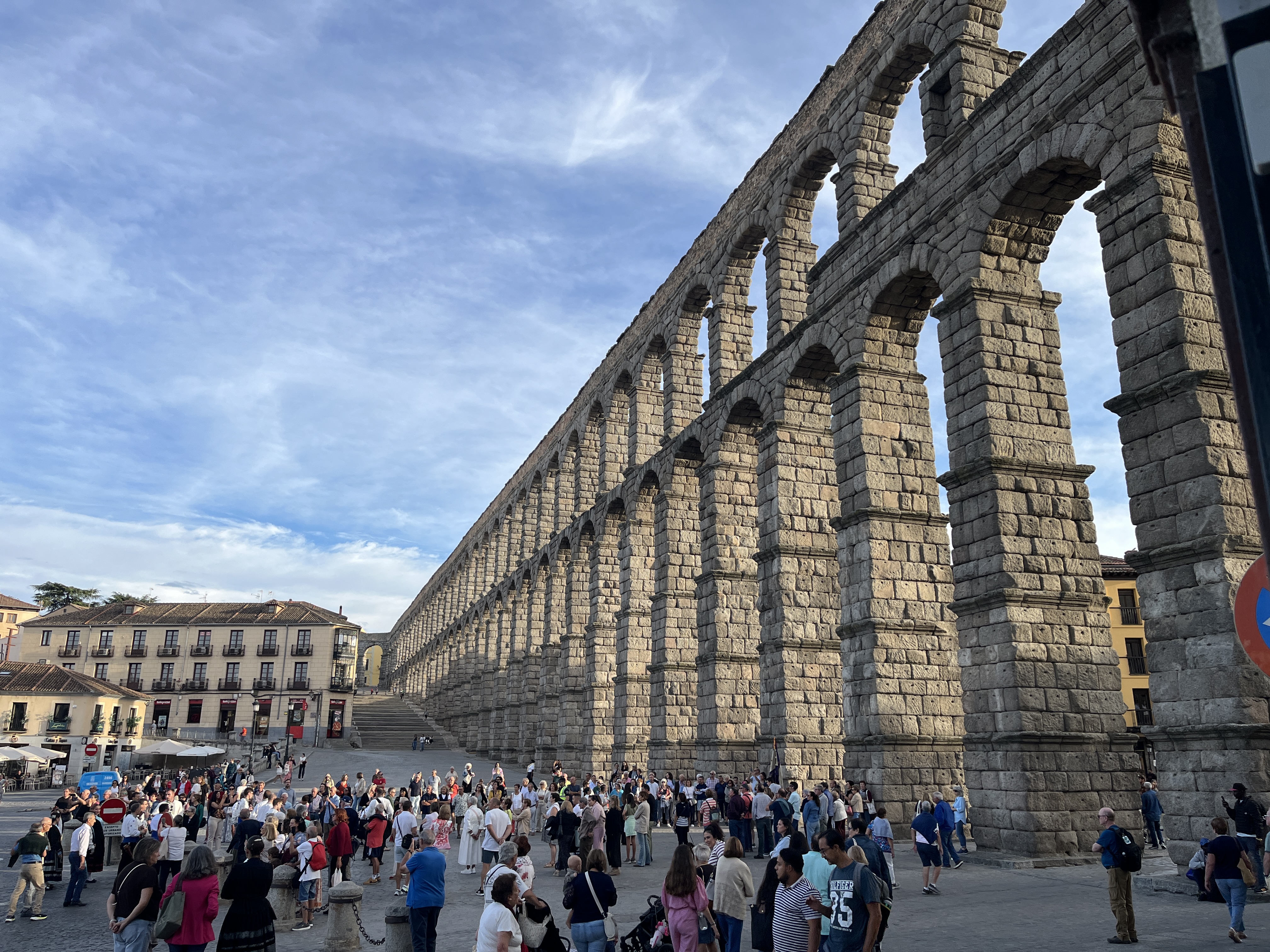
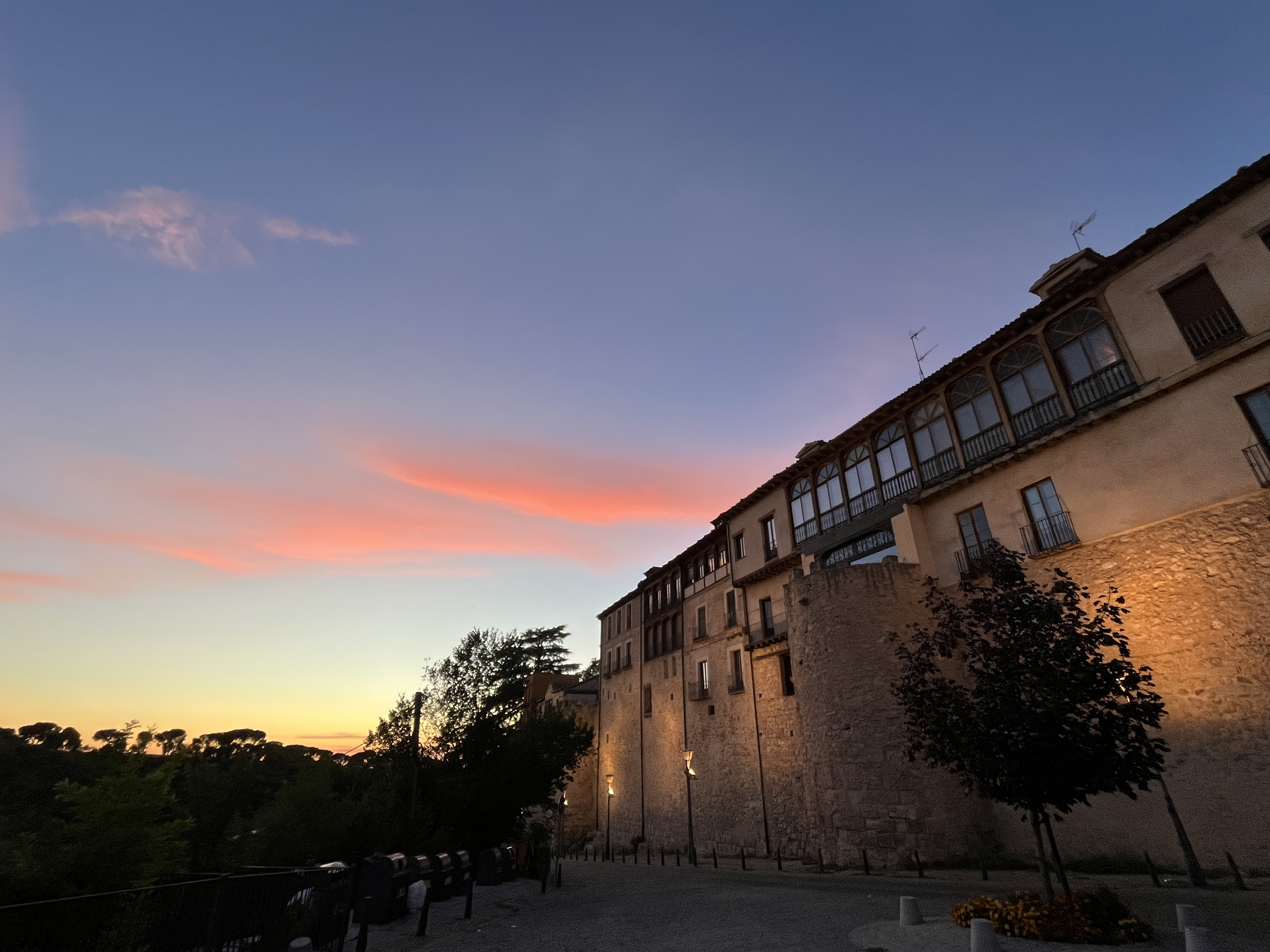
Exploring Segovia the evening before setting off
Day 1: Segovia to Aranda de Duero — 144.42 km · 1,150 m
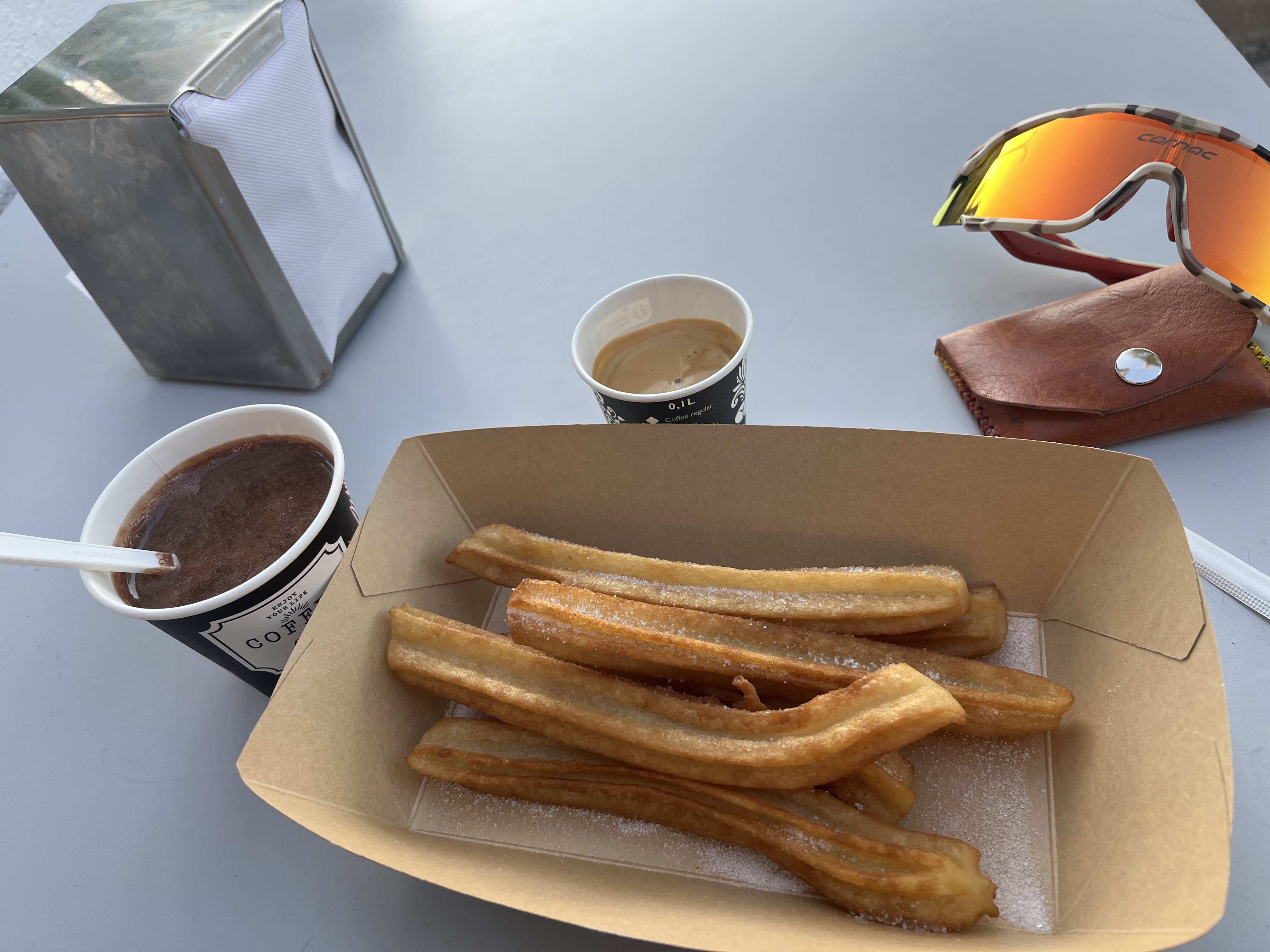
Morning came, and I headed out of the city. I passed by a food truck on my way and enjoyed some chocolate con churros and my first coffee of the day. And a beautiful day it was: crisp and cool morning, perfect blue sky, no wind. Ideal cycling conditions.
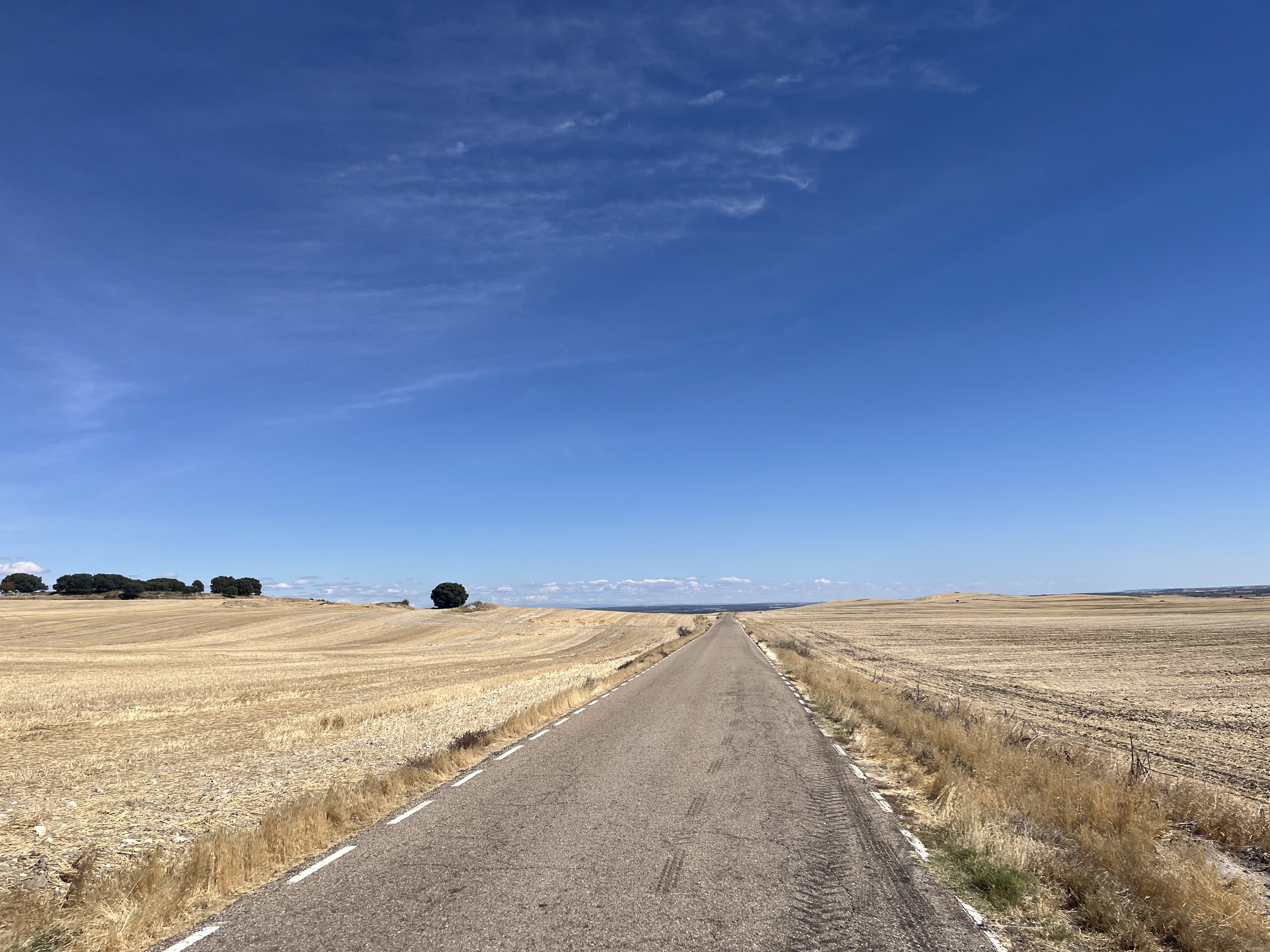
Trafficless, quiet roads. I was surprised to pass so many Christian relics, churches, crosses. I don't think I've ever seen so many in such a short space of time. It was a joy to roll out of Segovia across the high meseta with that gentle descent into wine country, the Ribera del Duero.
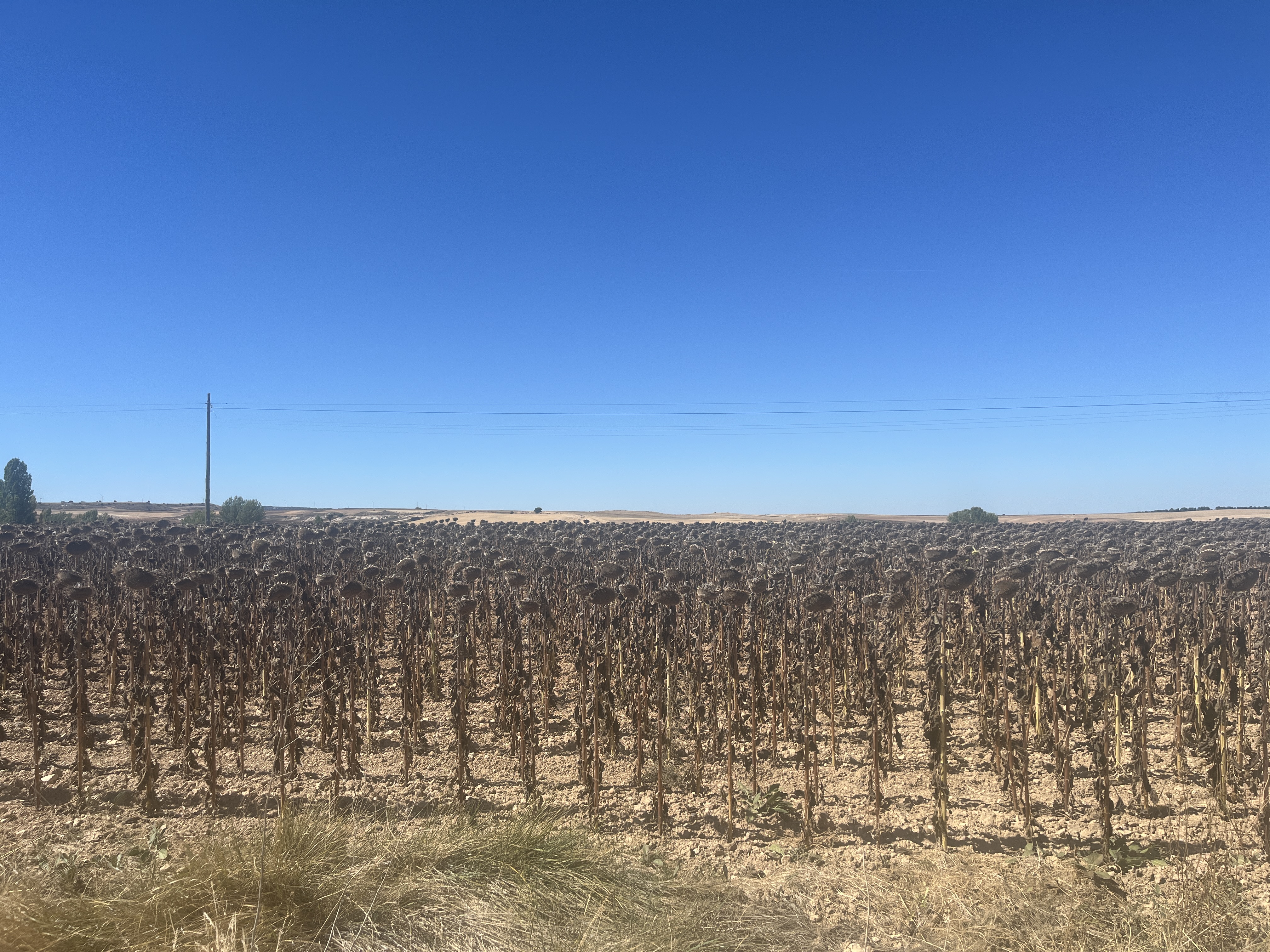
I saw more sunflower fields than vineyards. What baffled me most is that all of the sunflowers were dead.
I had some goals during my trip. I didn't want to go gung-ho and suffer. Instead, I wanted to go at a relaxed pace, enjoy the scenery, avoid using my phone, listen to audiobooks and on the evenings, read. As such, I didn't take many photos, and when I did, I was just whipping my phone out while riding, taking a quick snap.
What I liked about this region is that all the cafes served tortilla. You see that way more in this part of Spain than you do down in Andalucía.
The highlight of the first day was that sense of freedom that comes with the open road, big wide horizons, new sights and new smells, and rolling through Peñafiel, the most picturesque pueblo of the day, with its 15th-century fortress shaped like a giant ship, perched on the hill above the town.
Day 2: Aranda de Duero to Molinos de Duero — 129.19 km · 1,380 m
I left Aranda de Duero without breakfast, convinced I'd find something in one of the pueblos I'd pass along the way. Wrong.
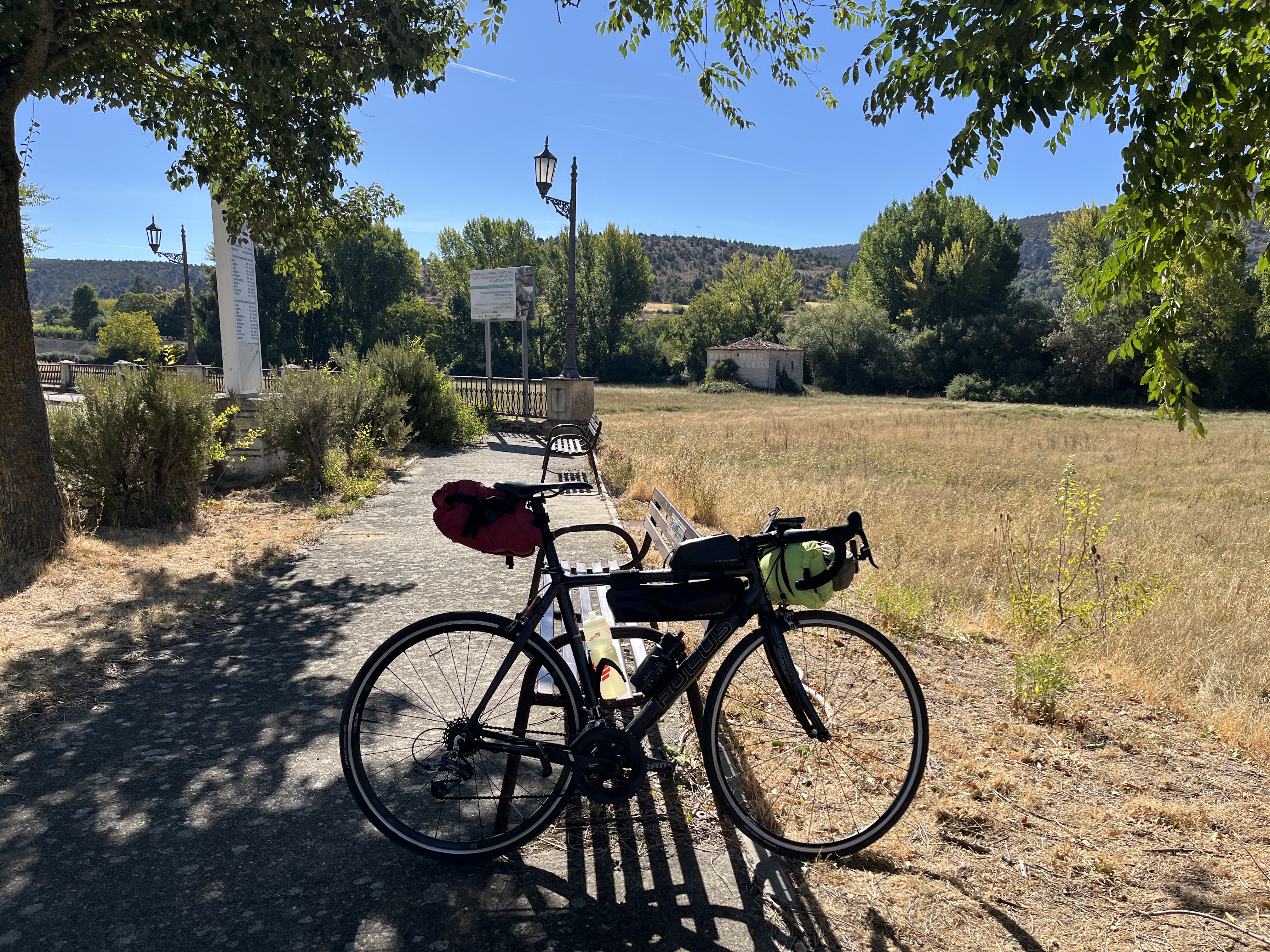
Long roads through the wine country. I passed through Baños de Valdearados, where I'd spent some time a couple of years ago for my friends' wedding. No place open for breakfast or coffee though.
Finally, rolling into Caleruega, a pretty, historic village in the Burgos province, at 10am after 35km, I found the first open cafe. Patatas alioli for breakfast, that hit the spot.
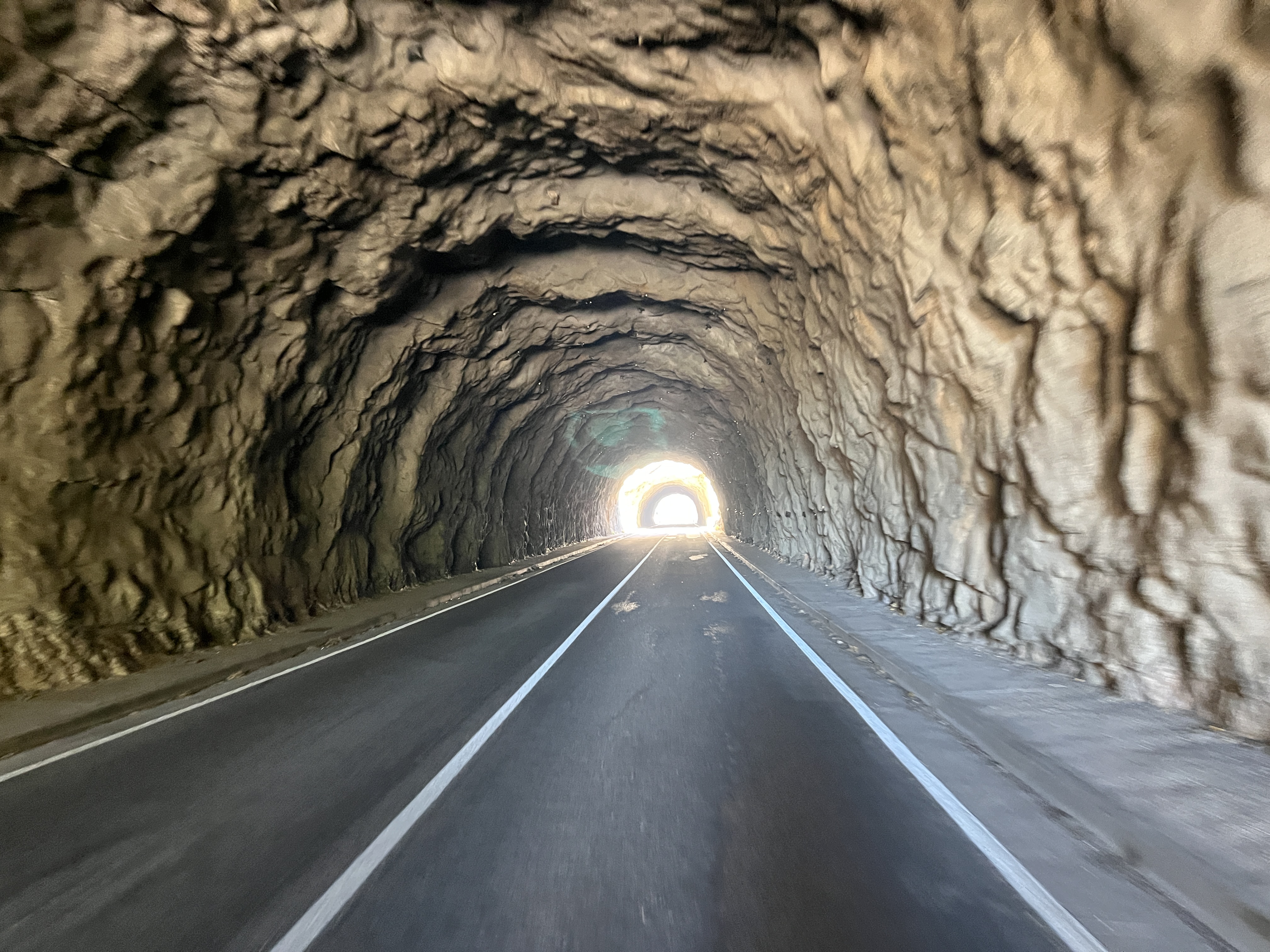
After this, the scenery improved somewhat. Passing by the Desfiladero de la Yecla was a highlight. Santo Domingo de Silos was one of the most striking towns I passed through during my trip. From here, I crossed the Sierra de la Demanda pine forests and headed toward Quintanar de la Sierra, dropping through the Sierra de Urbión.
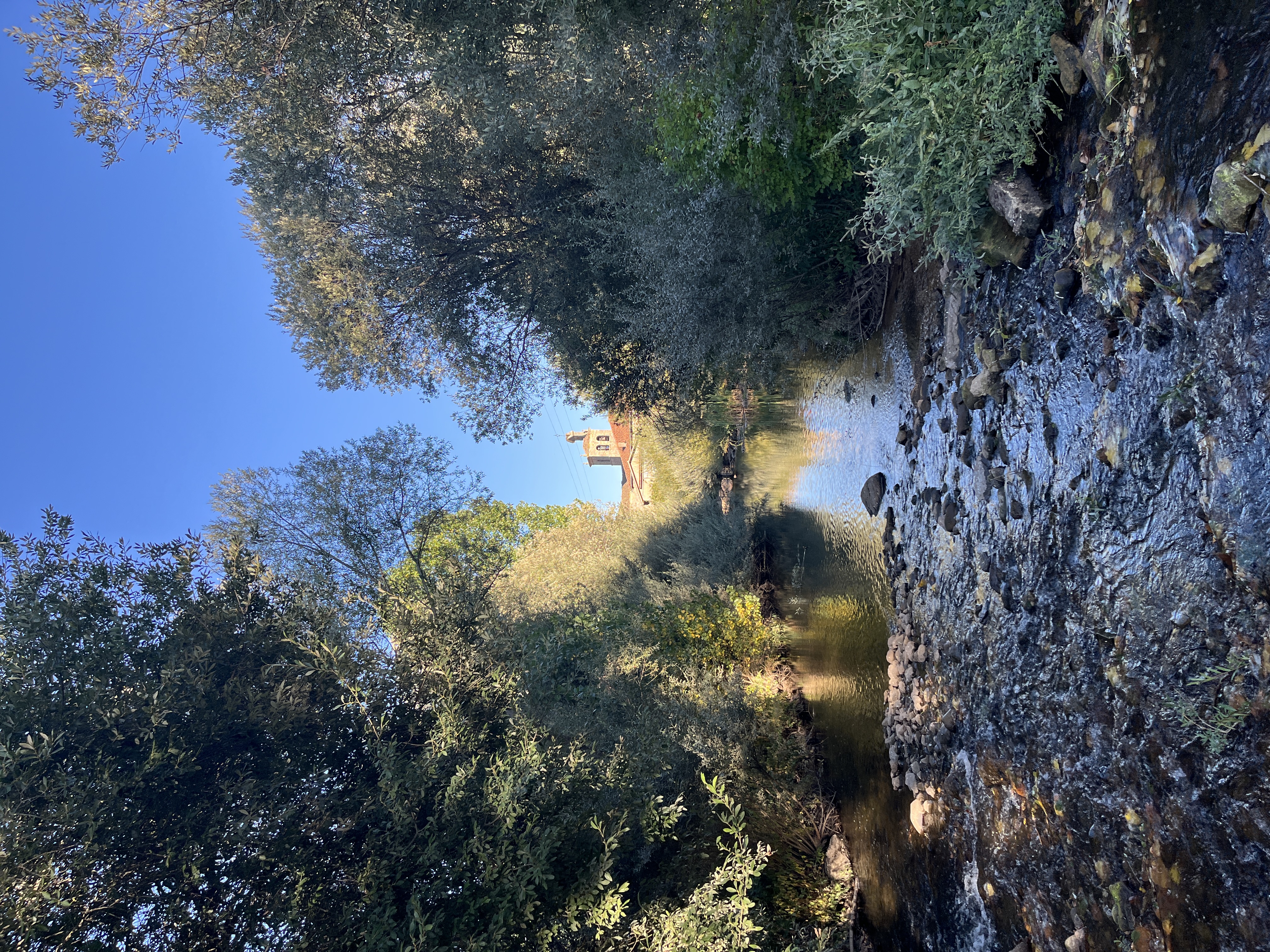
I spent the night in Molinos de Duero, a sweet little pueblo by the mountains with a river passing through. It was Saturday night and I was happy to sit by the river with my book.
Day 3: Molinos de Duero to Atienza — 139.04 km · 1,322 m
I didn't want to wait until 08:45 for breakfast so I packed up and left early. I clearly hadn't learned my lesson from the day before, and ended up having to ride over 60km before I found anywhere open to buy food. I was starving! It was a surprisingly cold morning, just 6°C, and I cursed the mountains for blocking the morning sunlight.
It was on this day I decided to change my original route. My plan was to head south east into the Parque Natural del Alto Tajo, before heading west through the Sierra de Guadarrama, but I realised there would be some long stretches where you couldn't buy food and drink, and in this heat, I didn't have the appetite for it. So last minute I changed the route to head south from Soria through Almazán to Atienza.
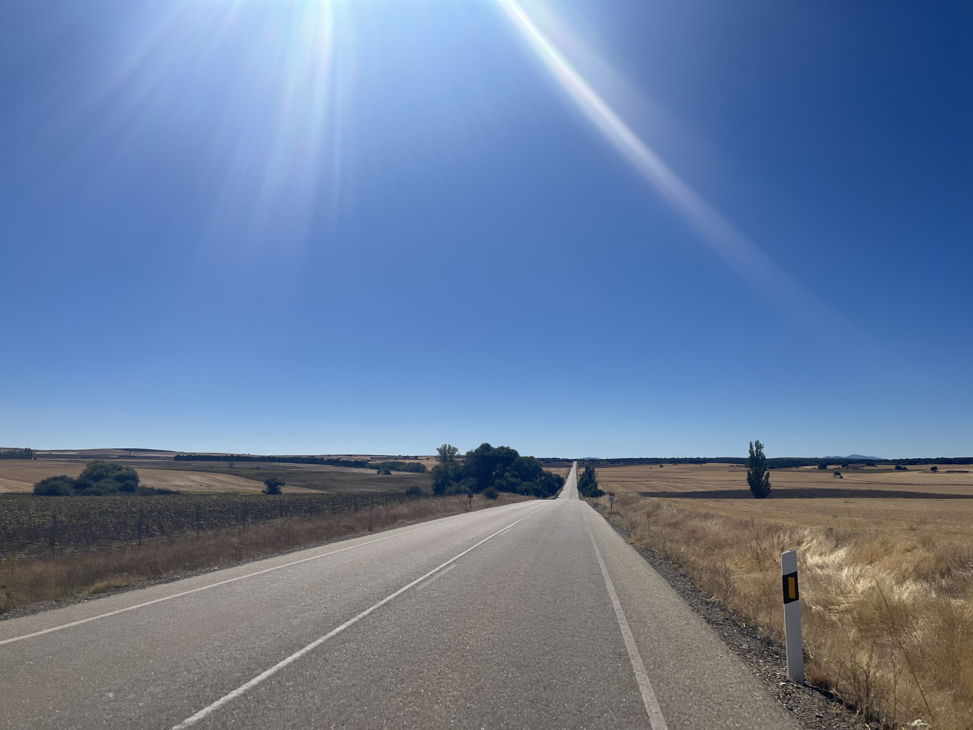
Soria, the city, was a disappointment. In fact, most of this day lacked the things that make a bike tour interesting. Long stretches of road with nothing to see. Fields of dead sunflowers. Uninteresting towns. And once the sun was high, it was hot, around 32°C, with few places to get in the shade.
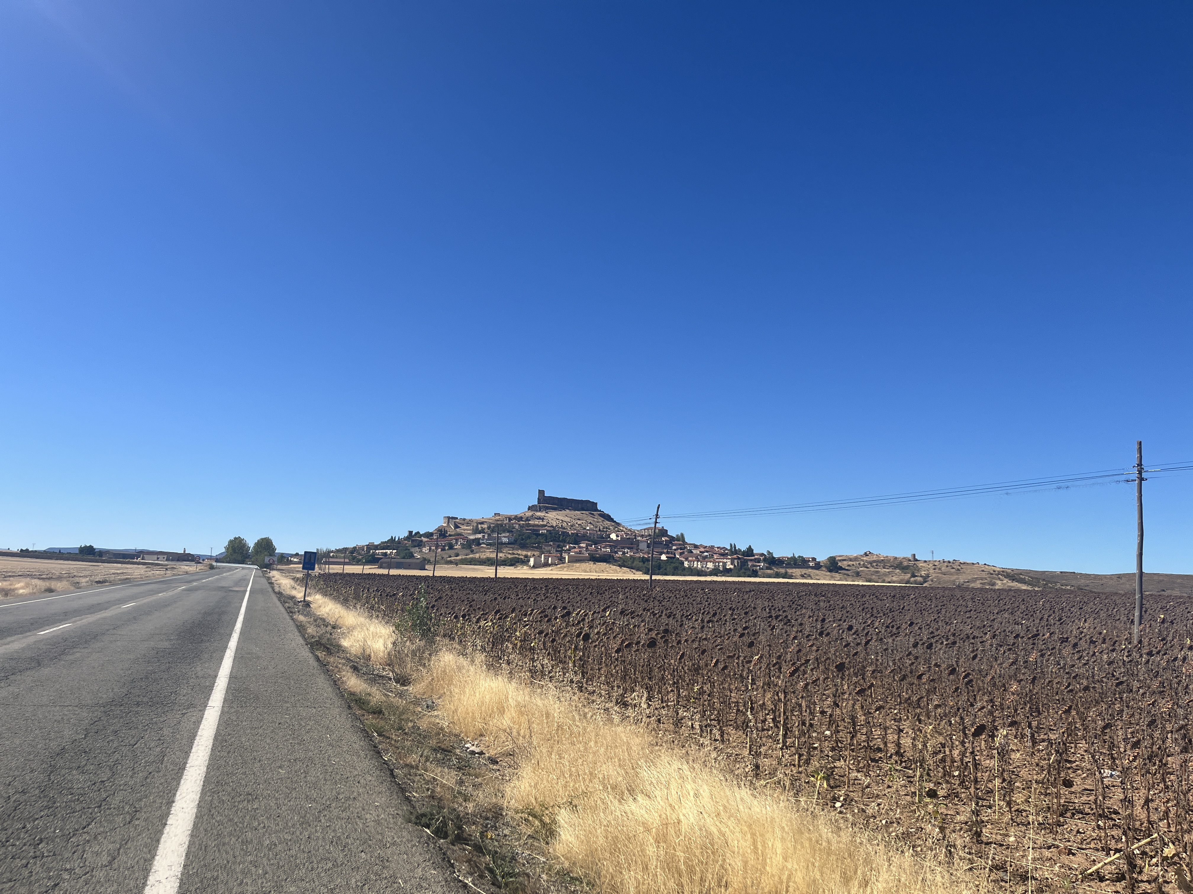
I was happy to finish this day and to relax with a beer in Atienza, a stunning medieval hilltop town in the Guadalajara province.
Day 4: Atienza to Segovia — 150.09 km · 1,946 m
I made time for a big breakfast and didn't hit the road until 09:30, descending west out of Atienza. The roads were rough, there was plenty of climbing, and again it was hot and none of the pueblos had any place to buy food or drink until I reached Riaza, 65km in.
Riaza, I loved this little town. Very charming, nice people, loads of bars and restaurants with bustling terraces. I could imagine spending more time in a place like this.
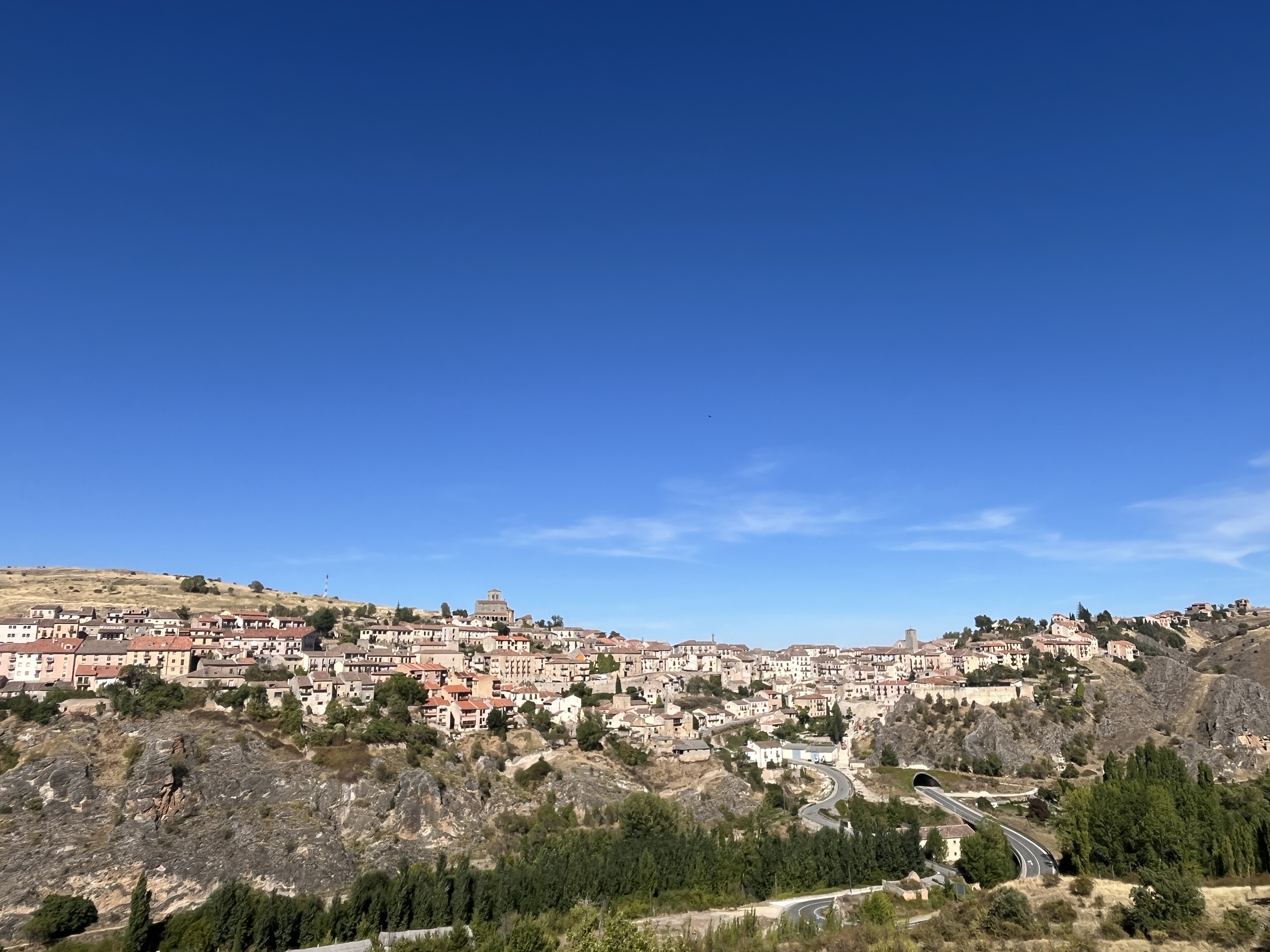
It was a red hot day. I continued to Sepúlveda, where I had planned on staying the night. I would have rounded off a relatively short day (95km) on the bike here, but it wasn't even 14:00, so after a little break, I decided to continue in the unrelenting heat to Segovia and round off the whole trip.
Total: 562.74 km · 5,798m elevation gain
Four days back to where it started, in Segovia, closing the loop I'd set out to ride, even if not quite the one I'd originally planned.
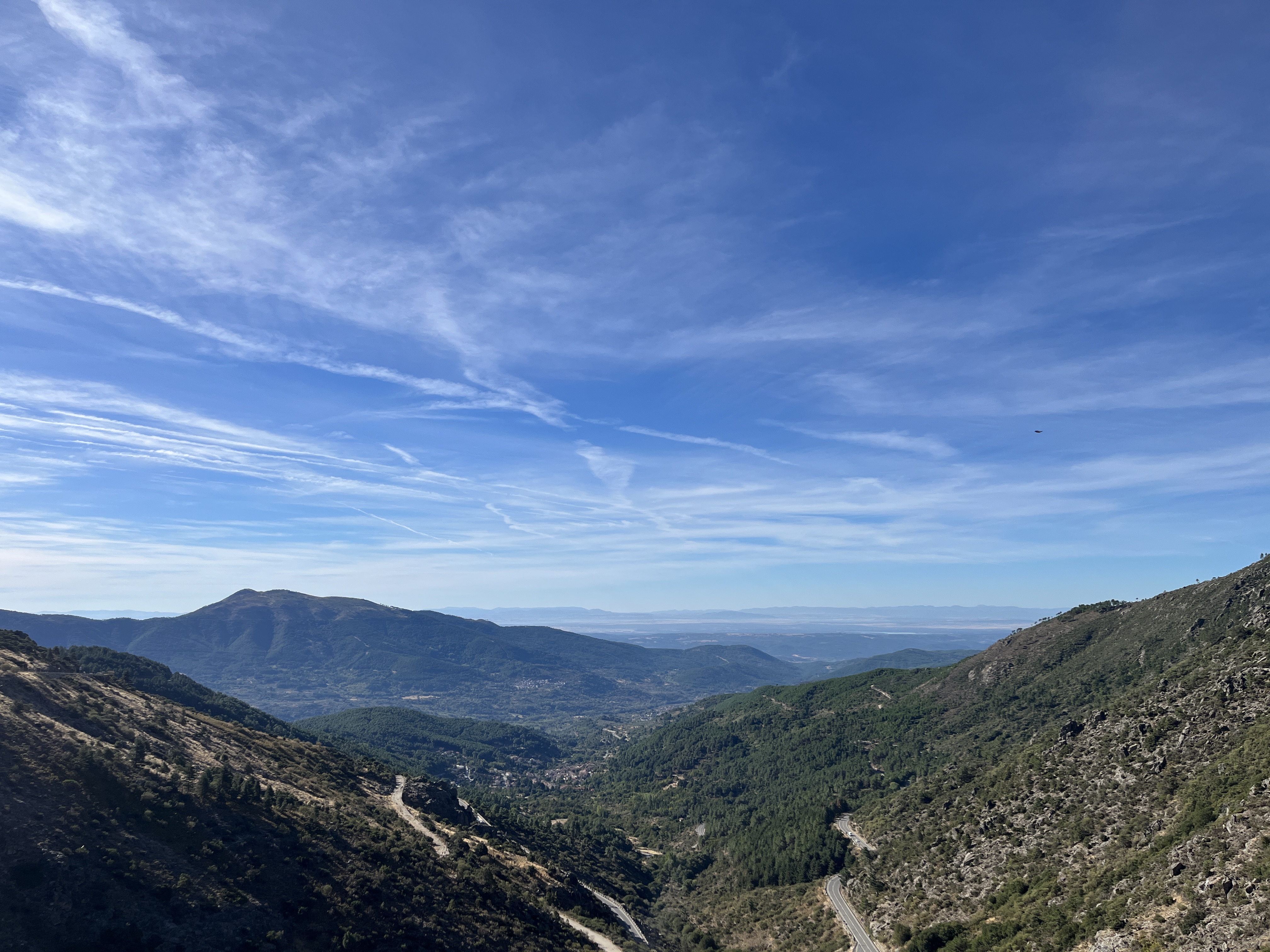
Equally as interesting as the bike ride itself was the drive back, taking the 'scenic route' detour through Sierra de Gredos. I'm bookmarking this area as a place to return and explore when I next get the chance.
Introducing a new itinerary tool
One more thing. Before this trip I built a route planner inside Datavata, and honestly, it doesn't compare to Strava's. Strava's route planning is excellent, mostly because of the heatmap: you can see where every other cyclist has ridden, which tells you where the good, scenic roads actually are.
What Strava doesn't give you is an itinerary. No day-by-day breakdown, no list of towns and distances. On previous trips, the Caminos, my TransAndalus MTB route, I made myself an A5 itinerary book by hand, and it was useful. So this time I built that into Datavata instead: upload the GPX, mark your overnight stops, get an itinerary out the other end, distances, climbing, the towns along the way.
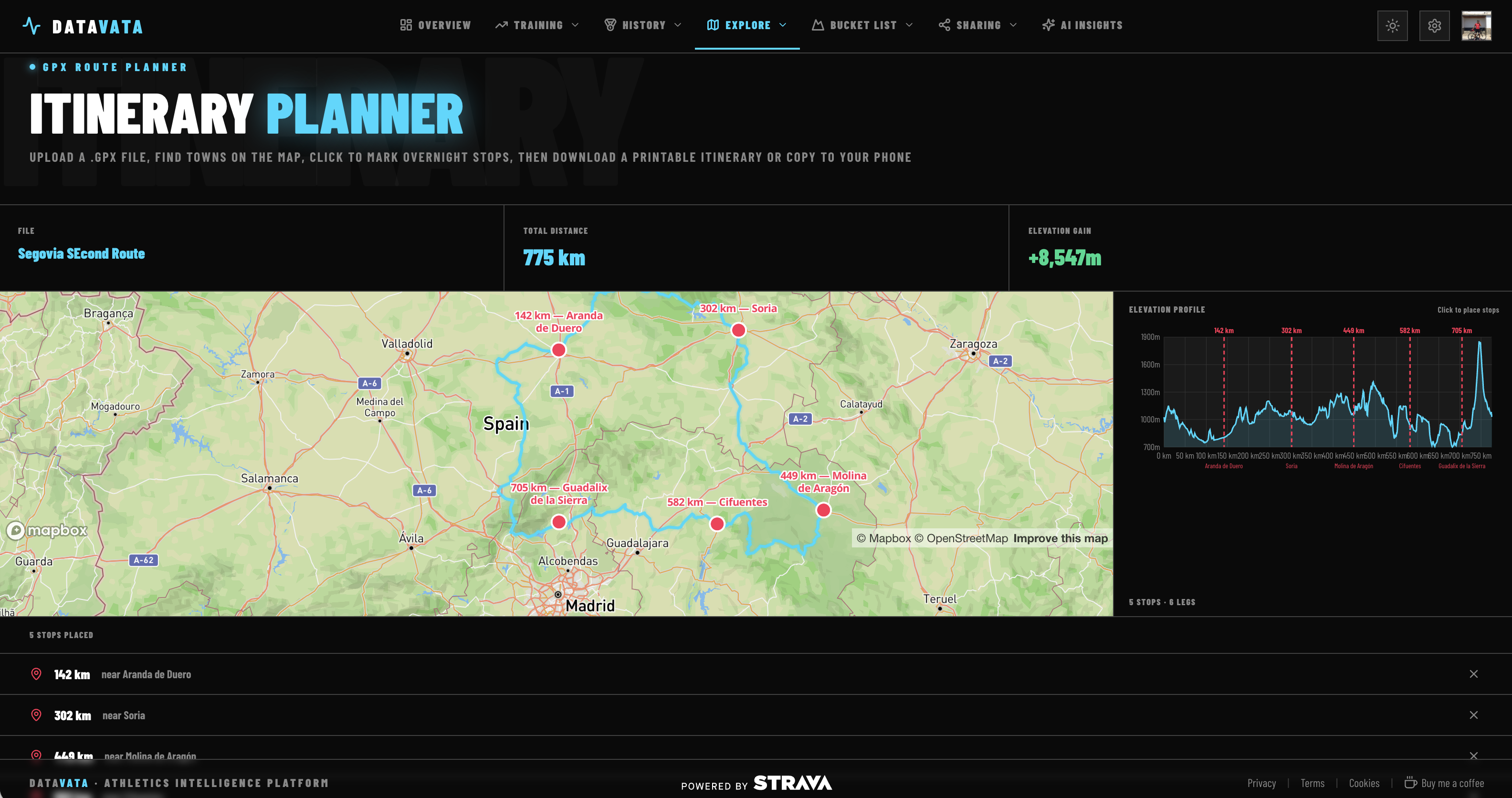
It worked well, right up until day 3, when I scrapped the plan and rerouted through Almazán instead. The itinerary's still there for the next trip, and it's live in Datavata now for anyone else who wants to use it.
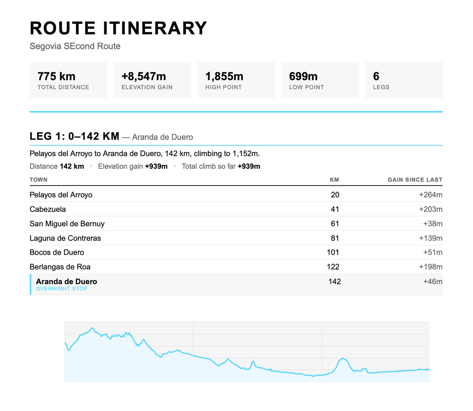
And another cool feature is that if you don't want to produce a PDF itinerary, you can simply use the Copy to Clipboard, which copies a text-only version for you to paste into your Notes app.